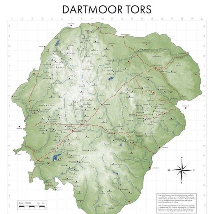
Dartmoor Tors Map
Dartmoor Tors Map
Tavicinity Publishing
A map of all of the tors on Dartmoor; showing every tor and rocky peak. This is an accurate map of Dartmoor National Park, showing its elevation contours, rivers, towns and main roads.
Every tor is marked on the map and listed, with a map square location, an eight figure OS grid reference, elevation data and indicator if the tor is in or within a military range.
A2 Print
Printed on A2 matt silk paper 200gsm, media size: 594 x 420 mm
Print is rolled in smooth acid-free tissue and posted in cardboard tube.
Couldn't load pickup availability
Product code: TAPU003
Share

-
Unique craft
All the products we sell are hand-crafted. This means that they are unique and special, but also means that in rare cases the design / colour / size may differ slightly from the photograph featured on their product page. All dimensions given are approximate.
-
Our packaging
We reuse packaging as much as possible – while the box and bubble wrap might not appear brand new, it’s helping to protect both your purchase and the planet. Paperwork is not included with your order, instead you will receive an email confirmation upon purchase.
-
Supporting makers
Find out moreAll products we sell are handmade in the UK, and the vast majority here in the Southwest. Buying from us directly supports small batch, independent, local makers. All profits made by us go back into supporting our educational aims as a charity.
Please note that items may be returned within 28 days of the day of purchase with production of a receipt. Unfortunately, we are unable to accept returns for earrings.
Click HERE for more information about our shipping, returns & refund policy.

